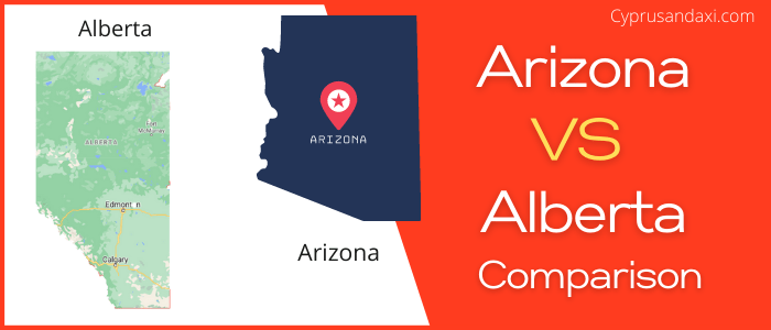
Arizona is a state of the United States of America located in the western part of the country, whereas Alberta is one of the 13 territories and provinces of Canada. Today in this article, we will discuss the comparison between Arizona and Alberta regarding various aspects.
Size
Is Arizona bigger than Alberta?
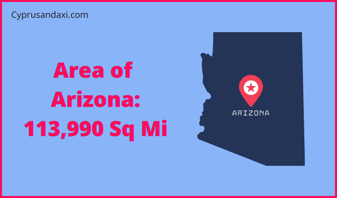
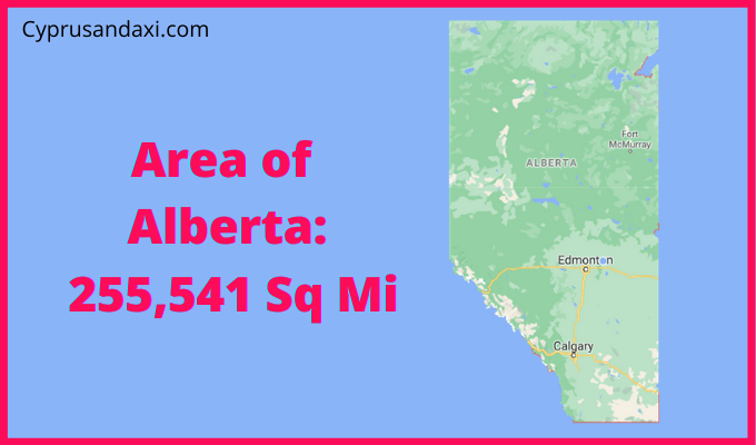
The total area of Arizona is 113,990 sq mi, and the total area of Alberta is 255,541 sq mi. Arizona is smaller than Alberta by 141,551 sq mi. Arizona is around 2.25 times smaller than Alberta.
Area of Arizona: 113,990 sq mi ( 295,234 km2 )
Area of Alberta: 255,541 sq mi ( 661,848 km2 )
Population
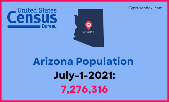
According to the United States Census Bureau data, the total population of Arizona as of 1st July 2021, was estimated to be around 7,276,316.
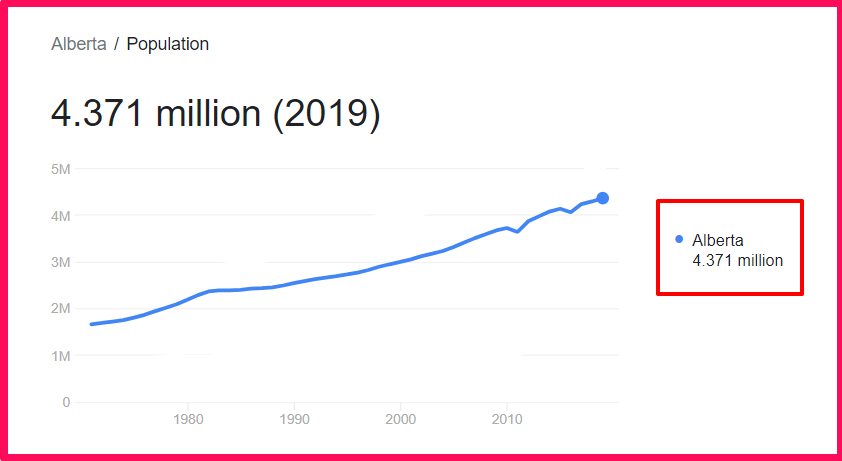
Based on the StatCan data, the total population of Alberta as of 2019, was estimated to be around 4.371 Million.
Here is some more data comparison between Arizona and Alberta.
The capital of Arizona is Phoenix, and the capital city of Alberta is Edmonton.
Official Languages
Arizona: English
Alberta: English
Demonym(s)
Arizona: Arizonan
Alberta: Albertan
ISO 3166 Code
Arizona: US-AZ
Alberta: CA-AB
Human Development Index
HDI of Arizona as of 2019: 0.913
HDI of Alberta as of 2019: 0.948
Arizona Time Zone:
UTC − 7 (Mountain Time Zone)
Summer (DST):
UTC − 6 (Mountain Daylight Time)
Alberta Time Zone:
UTC – 7 (Mountain Time Zone)
Summer (DST):
UTC – 6 (Mountain Daylight Time Zone)
Arizona and Alberta are in the same time zone.
Geological Coordinates
Coordinates of Arizona:
34° 16′ 27.84″ N, 111° 39′ 36.72″ W
Coordinates of Alberta:
54° 59′ 30″ N, 114° 22′ 36″ W
You may also like to read: