Iowa is a state in the United States of America located in the Midwestern region of the country, whereas the Federal Republic of Somalia is a country located in the Horn of Africa. Today in this article, we will discuss the comparison between Iowa and Somalia regarding various aspects.
Size
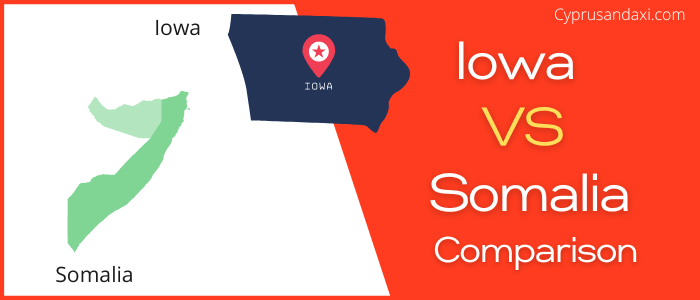
Is Iowa bigger than Somalia?
The total area of Iowa is 55,857.1 sq mi, and the total area of Somalia is 246,201 sq mi. Iowa is smaller than Somalia by 190,343.9 sq mi. Iowa is around 4.41 times smaller than Somalia.
Area of Iowa: 55,857.1 sq mi ( 144,669.2 km2 )

Area of Somalia: 246,201 sq mi ( 637,657 km2 )

Population
According to the United States Census Bureau, the total population of Iowa as of 1st July 2021 was estimated to be around 3,193,079.

Based on the World Bank data, the total population of Somalia as of 2020, was estimated to be around 15,893,219.

Here is some more data comparison between Iowa and Somalia.
The capital of Iowa is Des Moines, and the capital city of Somalia is Mogadishu.
Official Languages
Iowa: English
Somalia: Somali, Arabic
Demonym(s)
Iowa: Iowan
Somalia: Somali, Somalian
ISO 3166 Code
Iowa: US-IA
Somalia: SO
Human Development Index
HDI of Iowa as of 2019: 0.935
HDI of Somalia as of 2019: 0.361
Iowa Time Zone:
UTC − 6 (Central Standard Time)
Summer (DST):
UTC − 5 (Central Daylight Time)
Somalia Time Zone:
UTC + 3 (East Africa Time)
Geological Coordinates
Coordinates of Iowa:
42° 4′ 30.36″ N, 93° 29′ 45.6″ W
Coordinates of Somalia:
10° 0′ 0″ N, 49° 0′ 0″ E
You may also like to read: