Texas is a state located in the South Central region of the United States of America, whereas Manitoba is one of the provinces of the country of Canada. Today in this article, we will discuss the comparison between the U.S. state Texas and Canadian province Manitoba regarding various aspects.
Size
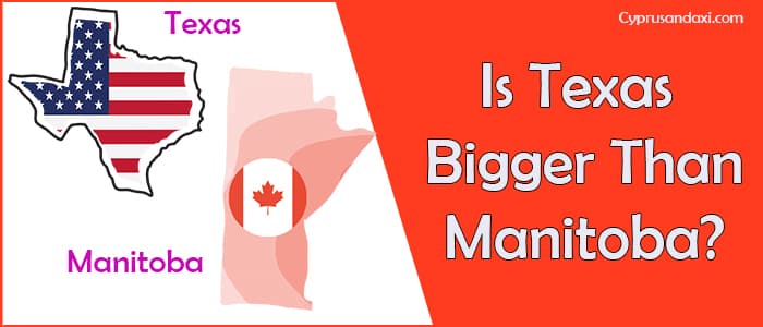
Is Texas bigger than Manitoba?
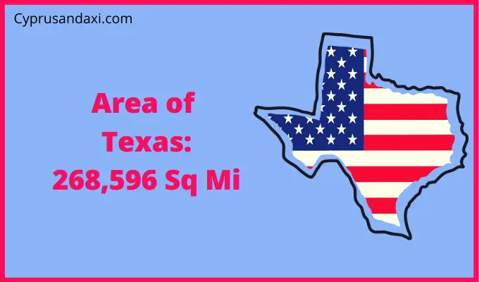
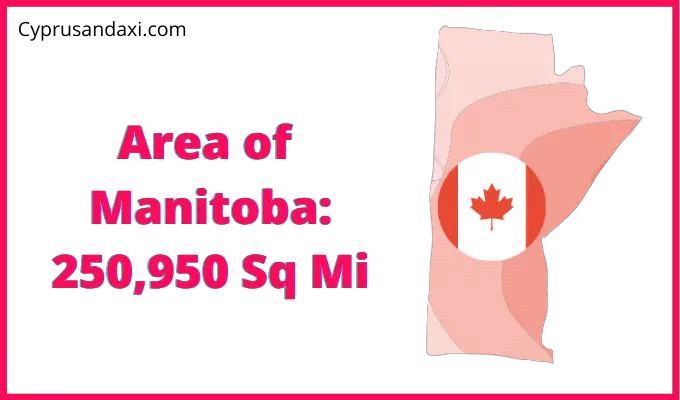
The total area of Texas is 268,596 sq mi, and the total area of Manitoba is 250,950 sq mi. Texas is bigger than Manitoba by 17,646 sq mi. Texas is around 1.07 times bigger than Manitoba.
Area of Texas: 268,596 sq mi ( 695,662 km2 )
Area of Manitoba: 250,950 sq mi ( 649,950 km2 )
Population
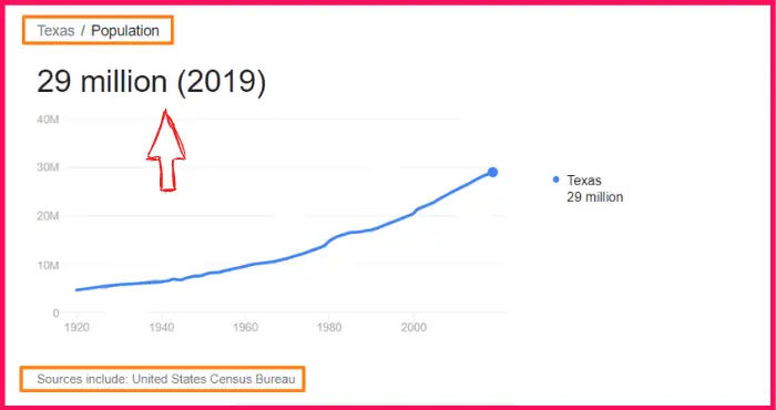
According to the United States Census Bureau data, the total population of Texas as of 2019 was estimated to be around 29 Million.
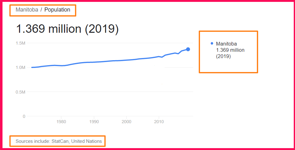
Based on the StatCan, United Nations data, the total population of Manitoba as of 2019 was estimated to be around 1.369 Million.
Here is some more data comparison between Texas and Manitoba.
The capital city of Texas is Austin, and the capital city of Manitoba is Winnipeg.
Official Languages
Texas: No official language, but English is the primary spoken language.
Manitoba: English
Human Development Index
HDI of Texas as of 2018: 0.909
HDI of Manitoba as of 2018: 0.897
Texas Timezone:
UTC − 6 (Central Time Zone)
UTC − 7 (Mountain Time Zone)
Summer (DST):
UTC − 5 (Central Daylight Time)
UTC − 6 (Mountain Daylight Time)
Manitoba Timezone:
UTC − 6 (Central Time Zone)
Summer (DST):
UTC − 5 (Central Daylight Time)
Geological Coordinates
Coordinates of Texas:
31° 28′ 32.52″ N, 99° 19′ 52.32″ W
Coordinates of Manitoba:
55° 0′ 0″ N, 97° 0′ 0″ W
You may also like to read: