Alabama is a state located in the Southeastern region of the United States, whereas Pennsylvania is a state in the Mid-Atlantic, Northeastern, and Appalachian regions of the United States of America. Today in this article, we will discuss the comparison between Alabama and Pennsylvania regarding various aspects.
Size
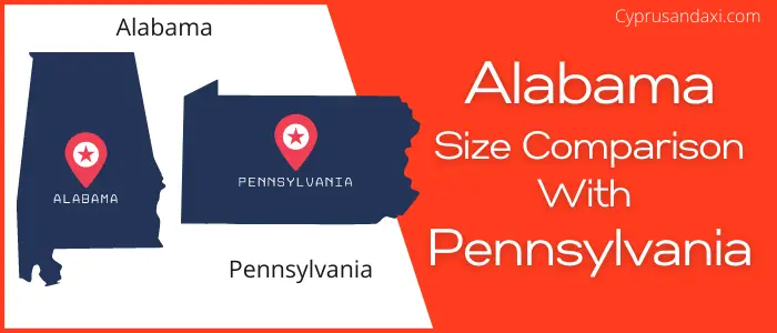
Is Alabama bigger than Pennsylvania?
The total area of Alabama is 52,419 sq mi, and the total area of Pennsylvania is 46,055 sq mi. Alabama is bigger than Pennsylvania by 6,364 sq mi. Alabama is around 1.14 times bigger than Pennsylvania.
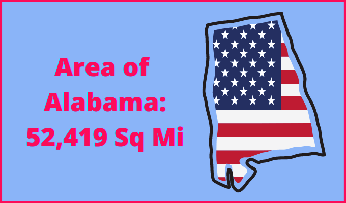
Area of Alabama: 52,419 sq mi ( 135,765 km2 )
Area of Pennsylvania: 46,055 sq mi ( 119,283 km2 )

Population
According to the United States Census Bureau, the total population of Alabama as of 1st July 2021 was estimated to be around 5,039,877.

Based on the data provided by the United States Census Bureau, the total population of Pennsylvania as of 1st July 2021 was estimated to be around 12,964,056.

Here is some more data comparison between Alabama and Pennsylvania.
The capital city of Alabama is Montgomery, and the capital city of Pennsylvania is Harrisburg.
Largest City
Alabama: Huntsville
Pennsylvania: Philadelphia
Demonym(s)
Alabama: Alabamian, Alabaman
Pennsylvania: Pennsylvanian
Official Languages
Alabama: English
Pennsylvania: None
ISO 3166 Code
Alabama: US-AL
Pennsylvania: US-PA
Human Development Index
HDI of Alabama as of 2019: 0.886
HDI of Pennsylvania as of 2019: 0.928
Alabama Time Zone:
UTC – 6 (Central Standard Time)
Summer (DST):
UTC – 5 (Central Daylight Time)
Pennsylvania Time Zone:
UTC − 5 (Eastern Standard Time)
Summer (DST):
UTC − 4 (Eastern Daylight Time)
Geological Coordinates
Coordinates of Alabama:
32° 46′ 45.84″ N, 86° 49′ 43.32″ W
Coordinates of Pennsylvania:
40° 52′ 41.16″ N, 77° 47′ 58.56″ W
You may also like to read:
