Alaska is a state located in the Western United States, on the northwest extremity of the country’s west coast, whereas Arkansas is a state in the South Central region of the United States of America. Today in this article, we will discuss the comparison between Alaska and Arkansas regarding various aspects.
Size
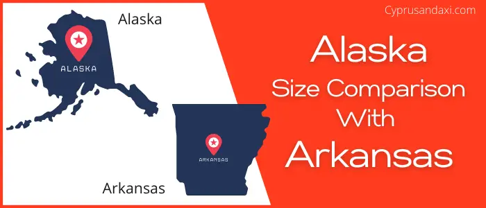
Is Alaska bigger than Arkansas?
The total area of Alaska is 663,268 sq mi, and the total area of Arkansas is 53,179 sq mi. Alaska is bigger than Arkansas by 610,089 sq mi. Alaska is around 12.48 times bigger than Arkansas.
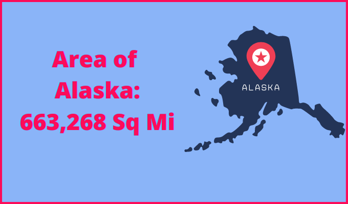
Area of Alaska: 663,268 sq mi ( 1,717,856 km2 )
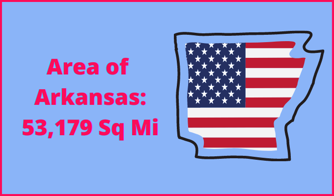
Area of Arkansas: 53,179 sq mi ( 137,732 km2 )
Population
According to the United States Census Bureau, the total population of Alaska as of 1st July 2021 was estimated to be around 732,673.

Based on the data provided by the United States Census Bureau, the total population of Arkansas as of 1st July 2021 was estimated to be around 3,025,891.

Here is some more data comparison between Alaska and Arkansas.
The capital city of Alaska is Juneau, and the capital city of Arkansas is Little Rock.
Largest City
Alaska: Anchorage
Arkansas: Little Rock
Demonym(s)
Alaska: Alaskan
Arkansas: Arkansan, Arkansawyer, Arkanite
Official Languages
Alaska: Multiple Official Languages
Arkansas: English
ISO 3166 Code
Alaska: US-AK
Arkansas: US-AR
Human Development Index
HDI of Alaska as of 2019: 0.936
HDI of Arkansas as of 2019: 0.886
Alaska Timezone:
UTC − 9 (Alaska Time Zone)
UTC − 10 (Hawaii – Aleutian Time Zone)
Summer (DST):
UTC − 8 (Alaska Daylight Time)
UTC − 9 (Hawaii – Aleutian Daylight Time)
Arkansas Timezone:
UTC – 6 (Central Standard Time)
Summer (DST):
UTC – 5 (Central Daylight Time)
Geological Coordinates
Coordinates of Alaska:
64° 4′ 6.6″ N, 152° 16′ 41.52″ W
Coordinates of Arkansas:
34° 53′ 37.68″ N, 92° 26′ 33.36″ W
You may also like to read:
