Texas is a state located in the South Central region of the United States of America, whereas Alaska is a U.S. state in the Western United States, on the northwest extremity of the country’s west coast. Today in this article, we will discuss the comparison between the US state Texas and Alaska regarding various aspects.
Size
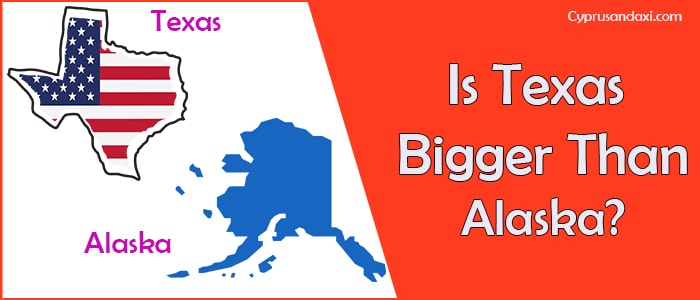
Is Texas bigger than Alaska?
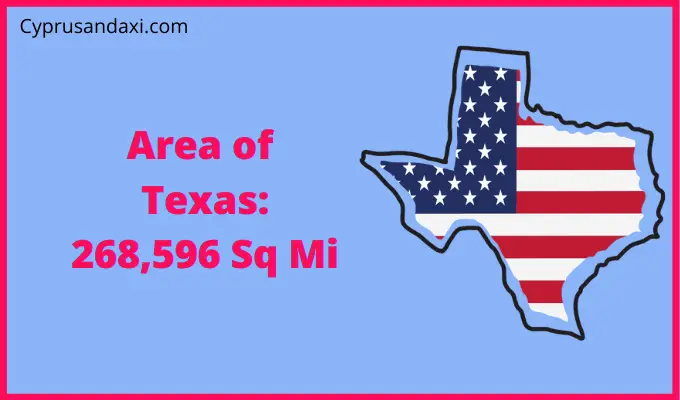
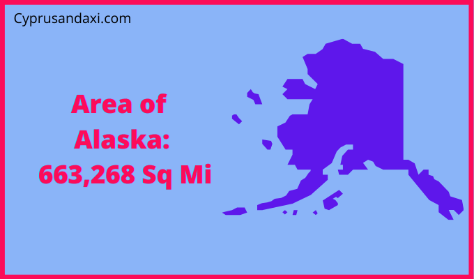
The total area of Texas is 268,596 sq mi, and the total area of Alaska is 663,268 sq mi. Texas is smaller than Alaska by 394,672 sq mi. Texas is around 2.4 times smaller than Alaska. Alaska is the largest U.S state by area.
Area of Texas: 268,596 sq mi ( 695,662 km2 )
Area of Alaska: 663,268 sq mi ( 1,717,856 km2 )
Population
According to the United States Census Bureau data, the total population of Texas as of 2019 was estimated to be around 29 Million.

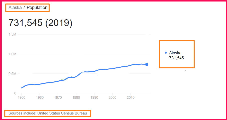
Based on the United States Census Bureau data, the total population of Alaska as of 2019 was estimated to be around 731,545.
Here is some more data comparison between Texas and Alaska.
The capital city of Texas is Austin, and the capital city of Alaska is Juneau.
Human Development Index
HDI of Texas as of 2018: 0.909
HDI of Alaska as of 2018: 0.937
Texas Timezone:
UTC − 6 (Central Time Zone)
UTC − 7 (Mountain Time Zone)
Summer (DST):
UTC − 5 (Central Daylight Time)
UTC − 6 (Mountain Daylight Time)
Alaska Timezone:
UTC − 9 (Alaska Time Zone)
UTC − 10 (Hawaii – Aleutian Time Zone)
Summer (DST):
UTC − 8 (Alaska Daylight Time)
UTC − 9 (Hawaii – Aleutian Daylight Time)
Geological Coordinates
Coordinates of Texas:
31° 28′ 32.52″ N, 99° 19′ 52.32″ W
Coordinates of Alaska:
64° 4′ 6.6″ N, 152° 16′ 41.52″ W
You may also like to read: