Maine is a state located in the New England region of the United States of America, whereas Ohio is a state located in the mid-Western region of the United States of America. Today in this article, we will discuss the comparison between Maine and Ohio regarding various aspects.
Size
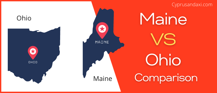
Is Maine bigger than Ohio?
The total area of Maine is 35,385 sq mi, and the total area of Ohio is 44,825 sq mi. Maine is smaller than Ohio by 9,440 sq mi. Maine is around 1.27 times smaller than Ohio.
Area of Maine: 35,385 sq mi ( 91,646 km2 )

Area of Ohio: 44,825 sq mi ( 116,096 km2 )

Population
According to the United States Census Bureau, the total population of Maine as of 1st July 2021 was estimated to be around 1,372,247.

Based on the data provided by the United States Census Bureau, the total population of Ohio as of 1st July 2021 was estimated to be around 11,780,017.

Here is some more data comparison between Maine and Ohio.
The capital city of Maine is Augusta, and the capital city of Ohio is Columbus.
Largest City
Maine: Portland
Ohio: Columbus
Demonym(s)
Maine: Mainer
Ohio: Ohioan
Official Languages
Maine: None
Ohio: English
ISO 3166 Code
Maine: US-ME
Ohio: US-OH
Human Development Index
HDI of Maine as of 2019: 0.922
HDI of Ohio as of 2019: 0.919
Maine Time Zone:
UTC − 5 (Eastern Standard Time)
Summer (DST):
UTC − 4 (Eastern Daylight Zone)
Ohio Time Zone:
UTC − 5 (Eastern Standard Time)
Summer (DST):
UTC − 4 (Eastern Daylight Time)
Maine and Ohio are in the same time zone.
Geological Coordinates
Coordinates of Maine:
45° 0′ 0″ N, 69° 0′ 0″ W
Coordinates of Ohio:
40° 17′ 10.32″ N, 82° 47′ 37.32″ W
You may also like to read:
