
Mississippi is a state located in the Southeastern region of the United States of America, whereas North Dakota is a state located in the upper Midwestern region of the United States of America. Today in this article, we will discuss the comparison between Mississippi and North Dakota regarding various aspects.
Size
Is Mississippi bigger than North Dakota?
The total area of Mississippi is 48,430 sq mi, and the total area of North Dakota is 70,704 sq mi. Mississippi is smaller than North Dakota by 22,274 sq mi. Mississippi is around 1.50 times smaller than North Dakota.
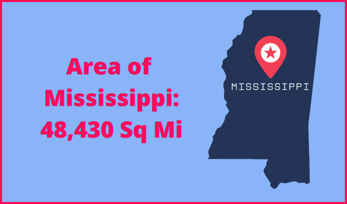
Area of Mississippi: 48,430 sq mi ( 125,443 km2 )
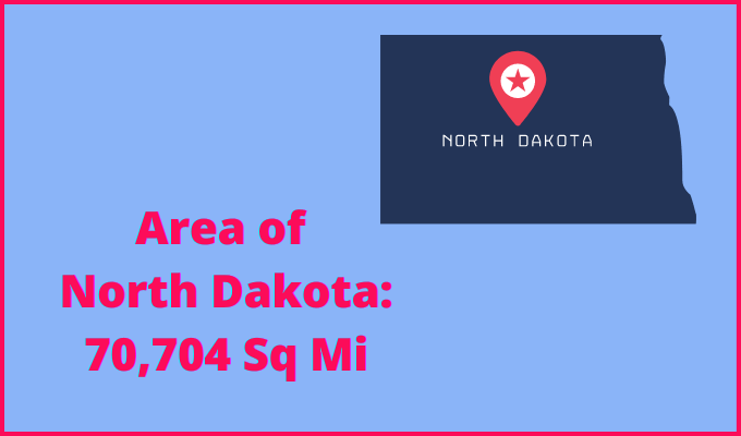
Area of North Dakota: 70,704 sq mi ( 183,123 km2 )
Population
According to the United States Census Bureau, the total population of Mississippi as of 1st July 2021 was estimated to be around 2,949,965.

Based on the data provided by the United States Census Bureau, the total population of North Dakota as of 1st July 2021 was estimated to be around 774,948.

Here is some more data comparison between Mississippi and North Dakota.
The capital city of Mississippi is Jackson, and the capital city of North Dakota is Bismarck.
Largest City
Mississippi: Jackson
North Dakota: Fargo
Demonym(s)
Mississippi: Mississippian
North Dakota: North Dakotan
Official Languages
Mississippi: English
North Dakota: None
ISO 3166 Code
Mississippi: US-MS
North Dakota: US-ND
Human Development Index
HDI of Mississippi as of 2019: 0.871
HDI of North Dakota as of 2019: 0.946
Mississippi Time Zone:
UTC − 6 (Central Standard Time)
Summer (DST):
UTC − 5 (Central Daylight Time)
North Dakota Time Zone:
UTC – 6 (Central Standard Time)
UTC – 7 (Mountain Standard Time)
Summer (DST):
UTC – 5 (Central Daylight Time)
UTC – 6 (Mountain Daylight Time)
Geological Coordinates
Coordinates of Mississippi:
32° 44′ 11.04″ N, 89° 40′ 4.08″ W
Coordinates of North Dakota:
47° 27′ 0.36″ N, 100° 27′ 57.24″ W
You may also like to read:
Mississippi vs New Mexico Comparison
