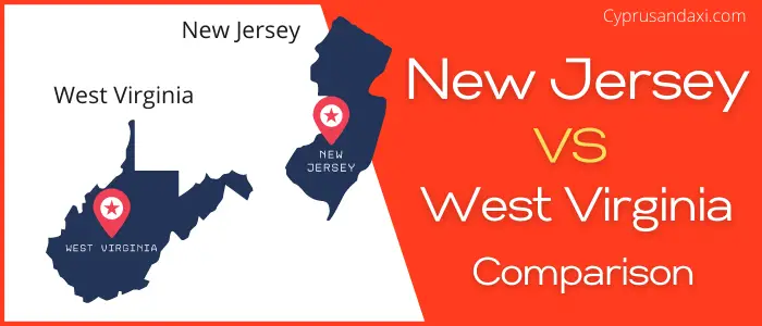
New Jersey is a state located in the Mid-Atlantic and Northeastern regions of the United States of America, whereas West Virginia is a state in the Appalachian, Mid-Atlantic and Southeastern regions of the United States. Today in this article, we will discuss the comparison between New Jersey and West Virginia regarding various aspects.
Size
Is New Jersey bigger than West Virginia?
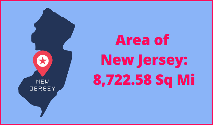
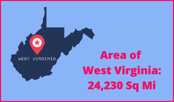
The total area of New Jersey is 8722.58 sq mi, and the total area of West Virginia is 24,230 sq mi. New Jersey is smaller than West Virginia by 15,507.42 sq mi. New Jersey is around 2.78 times smaller than West Virginia.
Area of New Jersey: 8722.58 sq mi ( 22,591.38 km2 )
Area of West Virginia: 24,230 sq mi ( 62,755 km2 )
Population
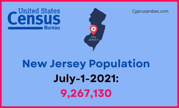
According to the United States Census Bureau, the total population of New Jersey as of 1st July 2021 was estimated to be around 9,267,130.
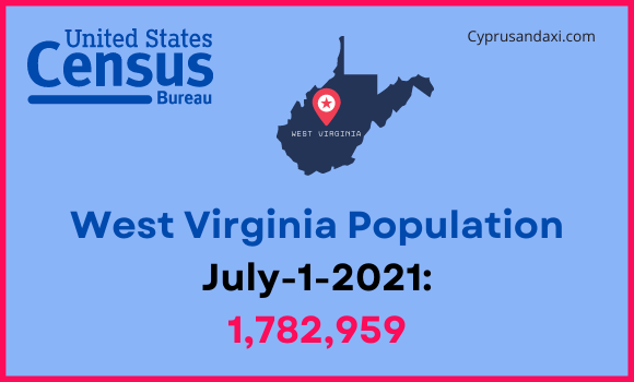
Based on the data provided by the United States Census Bureau, the total population of West Virginia as of 1st July 2021 was estimated to be around 1,782,959.
Here is some more data comparison between New Jersey and West Virginia.
The capital city of New Jersey is Trenton, and the capital city of West Virginia is Charleston.
Largest City
New Jersey: Newark
West Virginia: Charleston
Demonym(s)
New Jersey: New Jerseyan, New Jerseyite
West Virginia: West Virginian, Mountaineer
Official Languages
New Jersey: None
West Virginia: English
ISO 3166 Code
New Jersey: US-NJ
West Virginia: US-WV
Human Development Index
HDI of New Jersey as of 2019: 0.948
HDI of West Virginia as of 2019: 0.882
New Jersey Time Zone:
UTC – 5 (Eastern Standard Time)
Summer(DST):
UTC – 4 (Eastern Daylight Time)
West Virginia Time Zone:
UTC − 5 (Eastern Standard Time)
Summer (DST):
UTC − 4 (Eastern Daylight Time)
New Jersey and West Virginia are in the same time zone.
Geological Coordinates
Coordinates of New Jersey:
40° 11′ 26.52″ N, 74° 40′ 22.08″ W
Coordinates of West Virginia:
38° 38′ 27.24″ N, 80° 37′ 21.72″ W
You may also like to read:
New Jersey vs Vermont Comparison
