Alabama is a state located in the Southeastern region of the United States, whereas South Dakota is a state in the North Central region of the United States of America. Today in this article, we will discuss the comparison between Alabama and South Dakota regarding various aspects.
Size
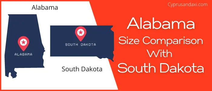
Is Alabama bigger than South Dakota?
The total area of Alabama is 52,419 sq mi, and the total area of South Dakota is 77,116 sq mi. Alabama is smaller than South Dakota by 24,697 sq mi. Alabama is around 1.48 times smaller than South Dakota.
Area of Alabama: 52,419 sq mi ( 135,765 km2 )

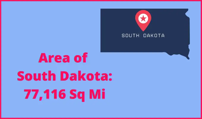
Area of South Dakota: 77,116 sq mi ( 199,729 km2 )
Population
According to the United States Census Bureau, the total population of Alabama as of 1st July 2021 was estimated to be around 5,039,877.

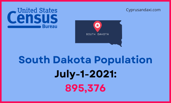
Based on the data provided by the United States Census Bureau, the total population of South Dakota as of 1st July 2021 was estimated to be around 895,376.
Here is some more data comparison between Alabama and South Dakota.
The capital city of Alabama is Montgomery, and the capital city of South Dakota is Pierre.
Largest City
Alabama: Huntsville
South Dakota: Sioux Falls
Demonym(s)
Alabama: Alabamian, Alabaman
South Dakota: South Dakotan
Official Languages
Alabama: English
South Dakota: English, O’ceti Sakowin
ISO 3166 Code
Alabama: US-AL
South Dakota: US-SD
Human Development Index
HDI of Alabama as of 2019: 0.886
HDI of South Dakota as of 2019: 0.932
Alabama Time Zone:
UTC – 6 (Central Standard Time)
Summer (DST):
UTC – 5 (Central Daylight Time)
South Dakota Time Zone:
UTC – 6 (Central Standard Time)
UTC – 7 (Mountain Standard Time)
Summer (DST):
UTC – 5 (Central Daylight Time)
UTC – 6 (Mountain Daylight Time)
Geological Coordinates
Coordinates of Alabama:
32° 46′ 45.84″ N, 86° 49′ 43.32″ W
Coordinates of South Dakota:
44° 26′ 39.48″ N, 100° 13′ 34.68″ W
You may also like to read:
Alabama vs South Carolina Comparison
